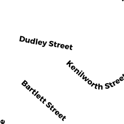
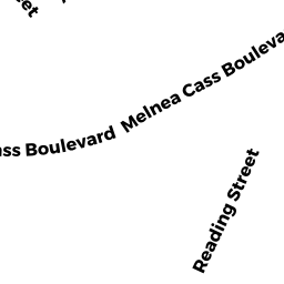
2-4 SHABAZZ WY
Owner Information
MADISON TRINITY LPS LESSEE
40 BROAD ST
BOSTON, MA 02109


Property Details
2-4 SHABAZZ WY is classified as a (formerly 121A Corporations. Removed June 2009.) (Exempt 121a prop).
The primary structure on this property was built in 1900.
2-4 SHABAZZ WY is valued at $1,244,132. The land is valued at $648,423 and the structures are valued at $595,709.
The most recent deed for 2-4 SHABAZZ WY is recorded at the local registrar in Book 33333, Page 333. 2-4 SHABAZZ WY was last sold on Thursday, January 1, 1998 for $0.
Assessment data from fiscal year 2020.
Flood Data
According to the FEMA National Flood Hazard Layer, this property does not appear to be in a flood zone. It may also be in an area not yet reviewed. Nonetheless, confirm this information prior to taking any action.
To view the flood hazards around this property, create a FEMA "Firmette" Map of the area around 2-4 SHABAZZ WY.
Broadband Internet Providers
| Provider | Type | Bandwidth (mbps) | |
|---|---|---|---|
| VSAT Systems, LLC. | Satellite | 2 | 1 |
| HughesNet | Satellite | 25 | 3 |
| GCI Communication Corp. | Satellite | 0 | 0 |
| netBlazr Inc | Fixed Wireless | 50 | 50 |
| RCN | Cable | 1000 | 20 |
| RCN | Cable | 500 | 20 |
| Comcast | Cable | 1000 | 35 |
| Verizon New England Inc. | Fiber | 940 | 880 |
| Verizon New England Inc. | DSL | 10 | 1 |
| Viasat Inc | Satellite | 100 | 3 |
Broadband service provider data from December 2020.